

About
A specialist surveying firm focused on understanding what lies beneath, and delivering data teams can build on.
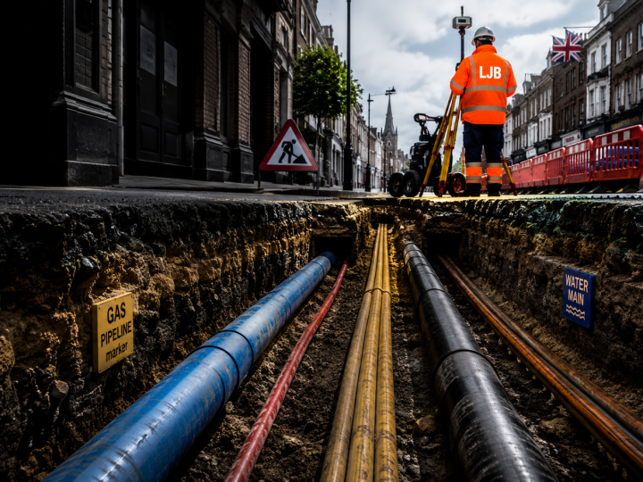
Built on precision and trust
LJB Surveying specialises in underground and utility surveying, locating, mapping and modelling buried services and the built environment for construction, civil engineering, infrastructure and development clients.
We combine experienced surveyors with modern instrumentation and proven methods to deliver accurate, standards-compliant data. From a single PAS 128 utility survey to ongoing site monitoring, our focus is the same: reliable results, presented clearly, delivered on time.
Principles behind every survey
Accuracy
Survey-grade precision, tied to recognised control and standards.
Compliance
Work delivered to PAS 128, safe-digging and RICS-aligned specifications.
Partnership
We work as an extension of your team, from brief to handover.
Usability
Deliverables built for your CAD, GIS and BIM workflows.
Equipment & capability
We invest in modern survey instrumentation and software so we can capture, process and deliver data to the standard your project demands.
- GNSS / GPS receivers
- Robotic total stations
- Ground penetrating radar (GPR)
- Electromagnetic location (CAT & genny)
- CCTV drainage crawlers
- 3D laser scanners
- CAD & BIM deliverables
- GIS data exports
Need to know exactly what’s below the surface?
Talk to our survey team about your site. We’ll recommend the right approach, scope and deliverables, and get you a fast, no-obligation quote.