

Infrastructure & Highway Surveys
Surveys for roads, rail and infrastructure schemes, captured safely and accurately, with the deliverables highway and infrastructure designers need.

What it is
Infrastructure and highway projects demand accurate survey data captured safely in live, often constrained environments. We provide topographic, utility and as-built surveys for road, rail and infrastructure schemes, working to the standards and formats required by highway authorities and infrastructure clients.
What’s involved
Planning & safety
Surveys are planned around traffic management and safe working.
Data capture
Topographic, utility and asset data are captured to specification.
Processing
Data is processed to the required highway/infrastructure formats.
Delivery
Deliverables are issued to authority and client standards.
What you receive
- Highway topographic surveys
- PAS 128 utility surveys for design
- As-built and asset surveys
- Authority-compliant CAD deliverables
- 3D models and DTMs on request
Where it’s used
Highway improvement and maintenance schemes, junction and active travel projects, rail and major infrastructure works.
Standards & compliance
Delivered to relevant highway authority and infrastructure specifications, tied to OS National Grid.
Common questions
Yes, we plan around appropriate traffic management and safe systems of work, and can capture much of the data using methods that minimise time in the carriageway.
Related services

CCTV Drainage Surveys & Inspections
Camera surveys of drains and sewers with full condition reporting, identifying defects, blockages, connectivity and the exact route of underground pipework.
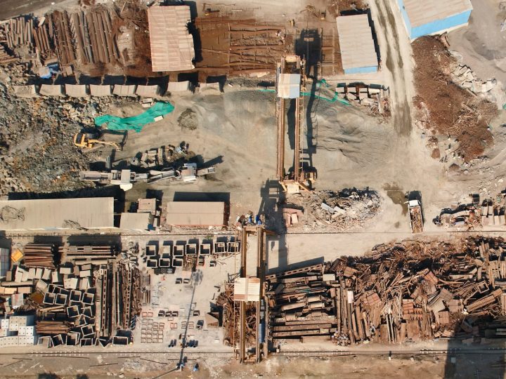
As-Built Surveys
Verification surveys of completed works, confirming what was actually built, where, and to what level, for handover, records and compliance.
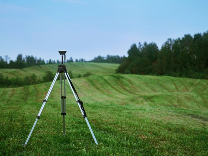
Boundary & Land Registry Plans
Boundary determination and Land Registry compliant plans, clear, accurate and prepared to HM Land Registry requirements.