
Surveying services
From PAS 128 utility surveys to 3D CAD deliverables, a complete underground and above-ground survey capability, delivered to the standards your project depends on.
PAS 128 Utility Surveys
Underground utility surveys carried out to the PAS 128 specification, with every service classified by survey quality level so you know exactly…
Underground Utility Mapping
Locating and mapping buried services such as electricity, gas, water, telecoms and drainage, into clear, accurate plans and CAD models you can…
CCTV Drainage Surveys & Inspections
Camera surveys of drains and sewers with full condition reporting, identifying defects, blockages, connectivity and the exact route of underground pipework.
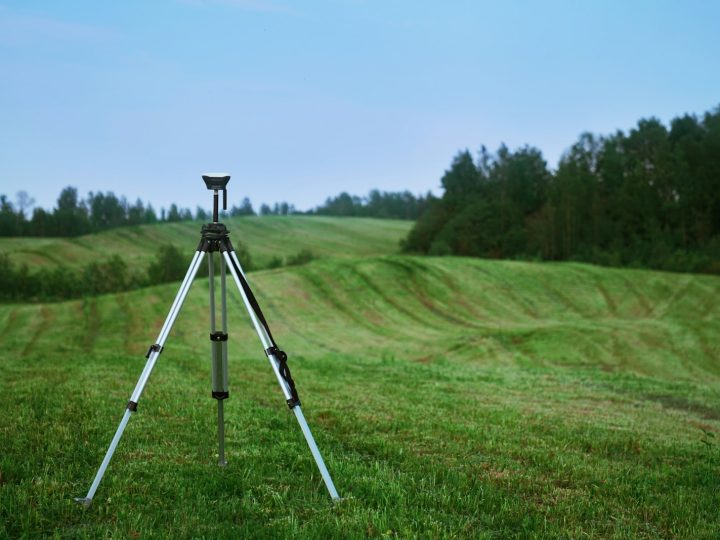
Topographical Surveys
Detailed, accurate land and site surveys capturing levels, features and boundaries, the essential base map for design, planning and development.

Measured Building Surveys
Accurate floor plans, elevations and sections of existing buildings, the reliable record you need for refurbishment, extension, planning or asset management.
GPR Surveys
Ground penetrating radar surveys to detect buried services, voids, structures and reinforcement, non-destructively, beneath the surface.
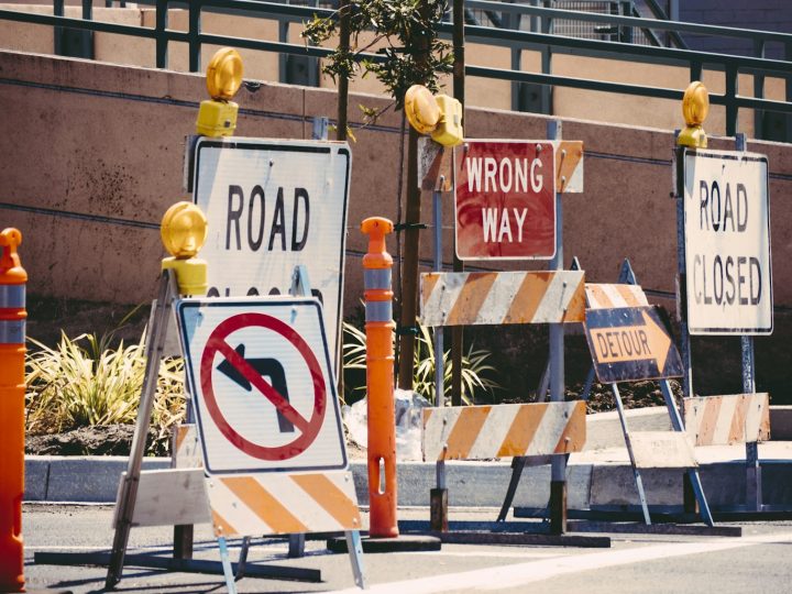
GPS & Total Station Surveys
Precise positioning and control using GNSS and robotic total stations, the measurement backbone behind accurate, repeatable survey data.
Boundary & Land Registry Plans
Boundary determination and Land Registry compliant plans, clear, accurate and prepared to HM Land Registry requirements.
Setting Out Engineering
Accurate setting out for construction, transferring the design onto the ground so structures, foundations and services are built in exactly the right…
Underground Detection & Tracing
Electromagnetic location and signal tracing of buried services, pinpointing the route and depth of live cables and pipes before you dig.
As-Built Surveys
Verification surveys of completed works, confirming what was actually built, where, and to what level, for handover, records and compliance.
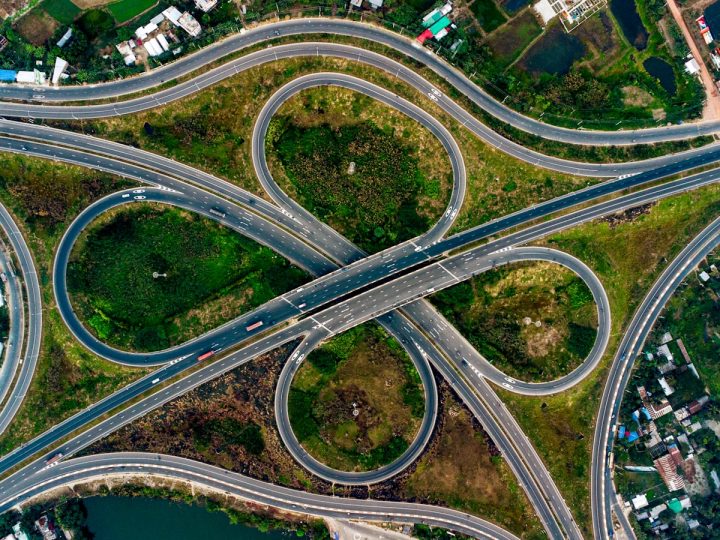
Infrastructure & Highway Surveys
Surveys for roads, rail and infrastructure schemes, captured safely and accurately, with the deliverables highway and infrastructure designers need.
Site Control & Monitoring
Establishing control networks and monitoring movement and deformation, protecting structures, the public and your programme on sensitive sites.
Drainage & Asset Mapping
Mapping drainage networks and site assets into accurate, connected plans and GIS, so you understand and manage what you own below and…

3D Survey Data & CAD Deliverables
Point clouds, 3D models and CAD outputs, turning survey data into the precise digital deliverables your design and BIM workflows need.

Need to know exactly what’s below the surface?
Talk to our survey team about your site. We’ll recommend the right approach, scope and deliverables, and get you a fast, no-obligation quote.