

GPS & Total Station Surveys
Precise positioning and control using GNSS and robotic total stations, the measurement backbone behind accurate, repeatable survey data.
What it is
Every reliable survey starts with accurate positioning. We use survey-grade GNSS (GPS) and robotic total stations to establish control and capture detail to millimetre-level precision, tied to OS National Grid or a project coordinate system.
This is the measurement foundation that underpins our topographic, utility, setting-out and monitoring work.
What’s involved
Control establishment
GNSS and total station observations fix a robust control network.
Detail capture
Points and features are surveyed to the required accuracy.
Quality checks
Observations are checked and adjusted for confidence.
Coordinated output
Data is delivered in your chosen grid and datum.
What you receive
- Coordinated control network
- Survey data in OS grid or site coordinates
- Point data (CSV) and CAD outputs
- Accuracy/precision statement
- Setting-out data on request
Where it’s used
Establishing control for any survey, dimensional control on site, stakeout, and high-accuracy positioning tasks.
Standards & compliance
Observations referenced to OS National Grid (OSTN15/OSGM15) or an agreed local grid, with documented accuracy.
Common questions
Typically a few millimetres for total station work and 10–20 mm for network RTK GNSS, depending on conditions and the task.
Related services

Infrastructure & Highway Surveys
Surveys for roads, rail and infrastructure schemes, captured safely and accurately, with the deliverables highway and infrastructure designers need.
As-Built Surveys
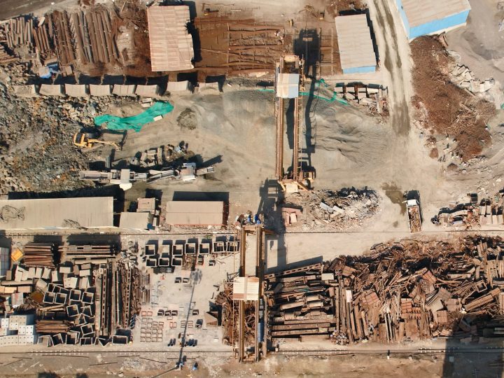
Verification surveys of completed works, confirming what was actually built, where, and to what level, for handover, records and compliance.
Underground Detection & Tracing
Electromagnetic location and signal tracing of buried services, pinpointing the route and depth of live cables and pipes before you dig.