
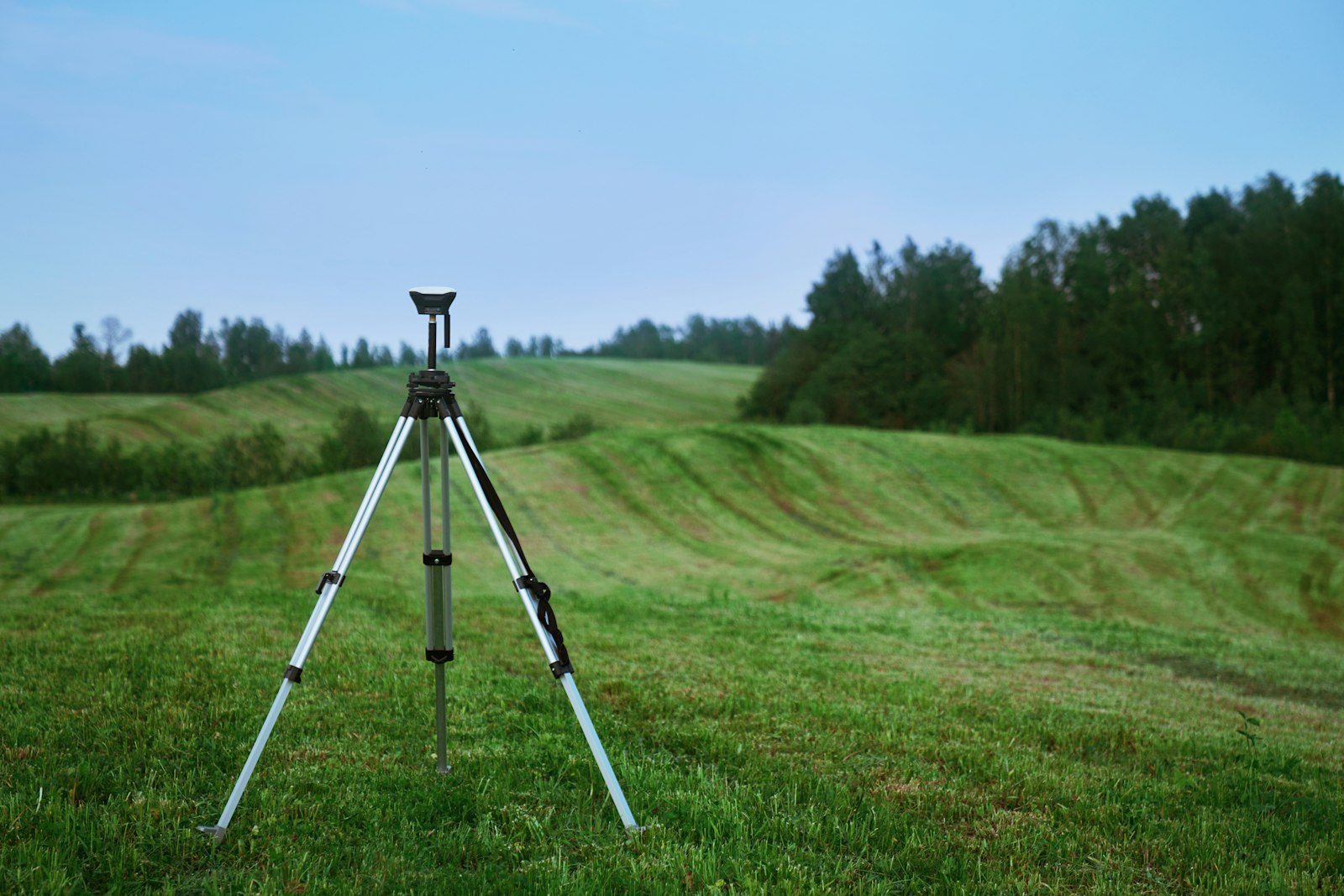
Topographical Surveys
Detailed, accurate land and site surveys capturing levels, features and boundaries, the essential base map for design, planning and development.
What it is
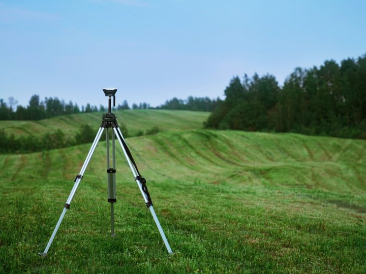
A topographical survey is a precise measured record of a site: ground levels, buildings, hard and soft landscaping, trees, services covers, boundaries and everything else that informs design. We capture it using total stations, GNSS and, where appropriate, laser scanning.
The result is a clean, layered CAD drawing that architects, engineers and planners can design straight onto.
What’s involved
Control network
We establish a survey control network tied to OS National Grid or a site grid.
Data capture
Detail and levels are recorded across the site to the agreed specification.
Processing
Survey data is processed, checked and drawn up in CAD.
Delivery
The finished survey is issued in your preferred format and layering.
What you receive
- Topographic survey drawing (DWG/DXF)
- Levels, contours and spot heights
- Digital terrain model (DTM) on request
- Tied to OS National Grid & datum
- PDF and 3D outputs available
Where it’s used
Architectural and engineering design, planning applications, drainage and highway design, landscaping and site development.
Standards & compliance
Surveys are tied to OS National Grid and Newlyn datum (or an agreed site grid) and delivered to RICS-aligned specifications.
Common questions
Anything visible and measurable, from levels and kerb lines to tree canopies, services covers and building outlines. We agree the specification with you before starting.
Related services
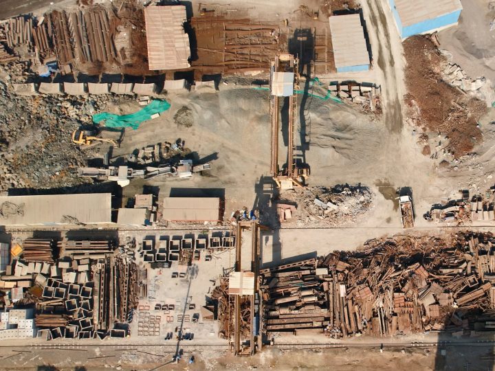
Underground Utility Mapping
Locating and mapping buried services such as electricity, gas, water, telecoms and drainage, into clear, accurate plans and CAD models you can…
Boundary & Land Registry Plans
Boundary determination and Land Registry compliant plans, clear, accurate and prepared to HM Land Registry requirements.
3D Survey Data & CAD Deliverables
Point clouds, 3D models and CAD outputs, turning survey data into the precise digital deliverables your design and BIM workflows need.