
Underground Utility Mapping
Locating and mapping buried services such as electricity, gas, water, telecoms and drainage, into clear, accurate plans and CAD models you can design and build from.
What it is
Underground utility mapping turns a hidden network of buried services into a clear, usable plan. We detect and trace cables, pipes and ducts across your site and present them as an accurate, layered drawing that integrates with your topographic survey and design model.
It’s the foundation of safe, well-coordinated groundworks, giving everyone on the project a shared, reliable view of what lies beneath.
What’s involved
Site appraisal
We review available records and assess site conditions and access.
Detection & tracing
Electromagnetic location and GPR identify and trace the route and depth of buried services.
Survey to control
Detected services are positioned against survey control for accuracy.
Drawing production
Results are drawn up as a layered, annotated CAD utility plan.
What you receive
- Layered utility plan in CAD (DWG/DXF)
- Service type, route and indicative depth
- Topographic base map
- GIS export (Shapefile/GeoJSON) on request
- PDF plan for site use
Where it’s used
Pre-construction planning, utility diversions, drainage design, landscaping and excavation works across construction, civils and development projects.
Standards & compliance
Mapping is undertaken in line with PAS 128 methodology and safe digging guidance. Deliverables follow your CAD layering and naming conventions where specified.
Common questions
Detected depths are indicative and depend on the service type and ground conditions. Where exact depth is critical we recommend verification by trial hole (QL-A).
Related services
Setting Out Engineering
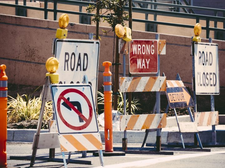
Accurate setting out for construction, transferring the design onto the ground so structures, foundations and services are built in exactly the right…
Infrastructure & Highway Surveys
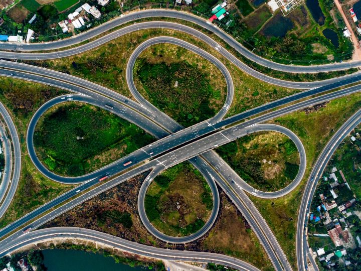
Surveys for roads, rail and infrastructure schemes, captured safely and accurately, with the deliverables highway and infrastructure designers need.
GPS & Total Station Surveys
Precise positioning and control using GNSS and robotic total stations, the measurement backbone behind accurate, repeatable survey data.