Drainage & Asset Mapping
Mapping drainage networks and site assets into accurate, connected plans and GIS, so you understand and manage what you own below and above ground.
What it is
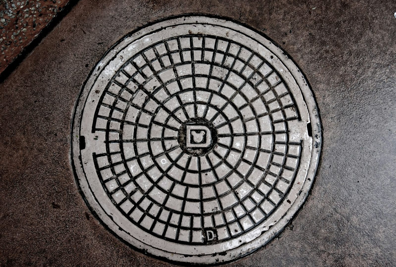
Drainage and asset mapping builds a complete, connected picture of your drainage network and physical assets. We survey manholes, runs, gullies, chambers and assets, establish connectivity and flow, and deliver the result as a clear plan and/or GIS dataset for design, maintenance and asset management.
What’s involved
Asset survey
Manholes, covers and assets are located and surveyed.
Connectivity
Drainage runs, sizes and flow directions are established (with CCTV where needed).
Data build
Information is structured into a plan and/or GIS dataset.
Delivery
Outputs are issued in CAD and GIS-ready formats.
What you receive
- Drainage network plan with connectivity
- Manhole schedule and cover/invert levels
- Asset register and attributes
- GIS-ready dataset (Shapefile/GeoJSON)
- CAD and PDF outputs
Where it’s used
Drainage strategy and design, SuDS, planned maintenance, adoption and estate/asset management.
Standards & compliance
Attribute structure and exchange formats aligned to your asset management system and, where relevant, sewer record conventions.
Common questions
Yes, we provide GIS-ready data in standard formats (Shapefile, GeoJSON) with the attributes your system needs.
Related services
Underground Utility Mapping
Locating and mapping buried services such as electricity, gas, water, telecoms and drainage, into clear, accurate plans and CAD models you can…
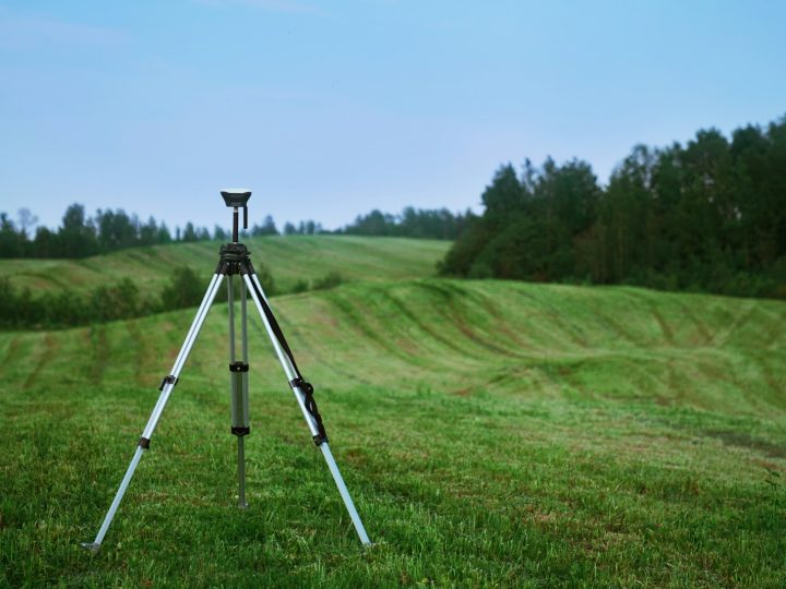
Topographical Surveys
Detailed, accurate land and site surveys capturing levels, features and boundaries, the essential base map for design, planning and development.
CCTV Drainage Surveys & Inspections
Camera surveys of drains and sewers with full condition reporting, identifying defects, blockages, connectivity and the exact route of underground pipework.