

Mapping what lies beneath with absolute precision
Precise location, mapping and modelling of buried services and the built environment. We turn what lies beneath into survey-grade data your project can build on, to PAS 128 and beyond.
Specialists in seeing below the surface
LJB Surveying locates, maps and models buried utilities and the built environment for construction, civil engineering and infrastructure projects. We turn uncertainty about what lies beneath into clear, quality-assured data your team can design and build from, accurately, safely and on time.
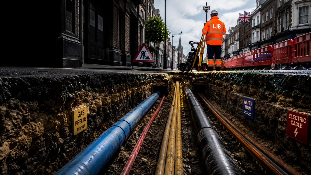
Working to recognised standards & accreditations
A complete survey capability
From PAS 128 utility surveys to 3D CAD deliverables, everything you need to understand and document your site.
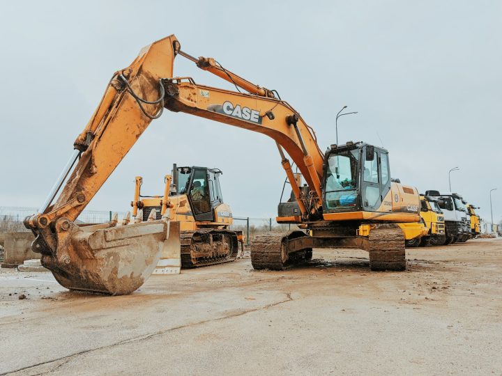
PAS 128 Utility Surveys
Underground utility surveys carried out to the PAS 128 specification, with every service classified by survey quality level so you know exactly…
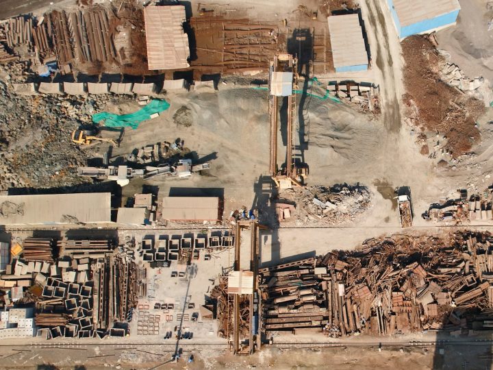
Underground Utility Mapping
Locating and mapping buried services such as electricity, gas, water, telecoms and drainage, into clear, accurate plans and CAD models you can…
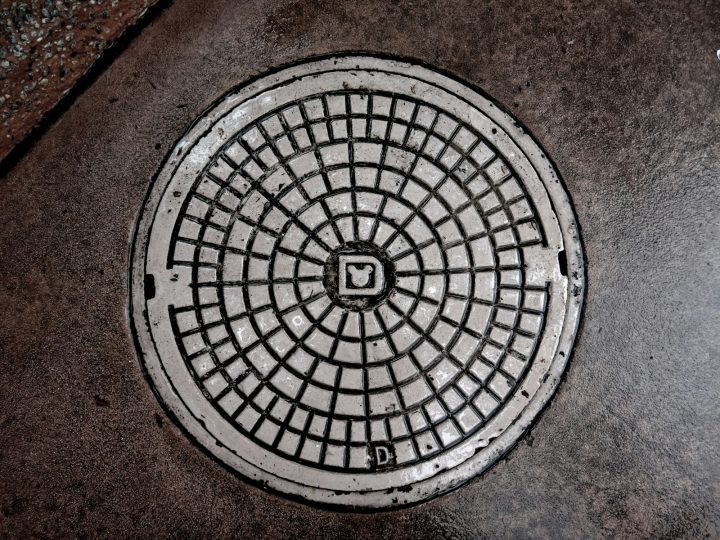
CCTV Drainage Surveys & Inspections
Camera surveys of drains and sewers with full condition reporting, identifying defects, blockages, connectivity and the exact route of underground pipework.
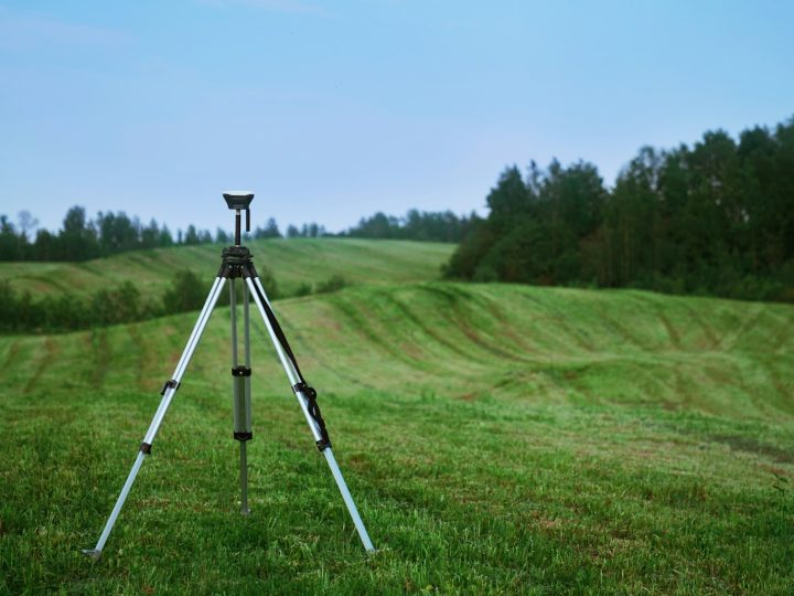
Topographical Surveys
Detailed, accurate land and site surveys capturing levels, features and boundaries, the essential base map for design, planning and development.

Measured Building Surveys
Accurate floor plans, elevations and sections of existing buildings, the reliable record you need for refurbishment, extension, planning or asset management.
GPR Surveys
Ground penetrating radar surveys to detect buried services, voids, structures and reinforcement, non-destructively, beneath the surface.
Accuracy you can build on
PAS 128 compliant
Utility surveys classified to recognised quality levels, so you know the confidence behind every result.
Survey-grade accuracy
GNSS and total-station control tied to OS National Grid for precise, repeatable data.
Fast turnaround
Responsive mobilisation and efficient processing keep your programme moving.
Usable deliverables
CAD, GIS, point clouds and reports that drop straight into your workflow.
Trusted across the built environment
We support the teams who design, build and maintain the UK’s infrastructure.
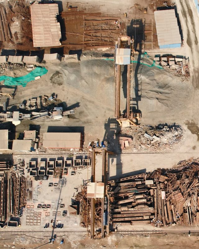
Construction
De-risking groundworks for main contractors.
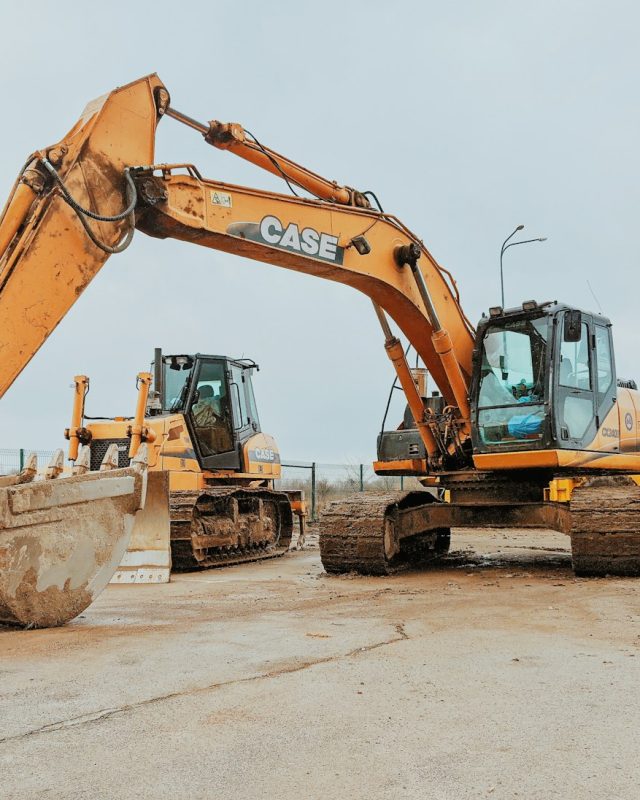
Civil Engineering
Survey data for design and delivery.

Infrastructure & Highways
Roads, rail and major schemes.
Utilities
Mapping and asset data for utility networks.

Property & Development
Topo and building surveys for development.
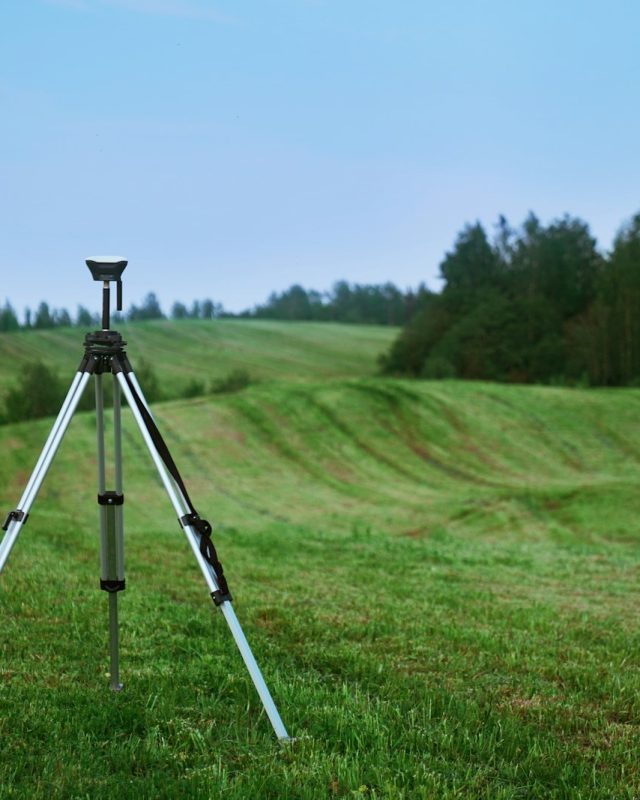
Local Authority
Surveys for councils and highways teams.
A clear path from brief to data
Scope & quote
We discuss your site and objectives, then recommend the right survey approach and deliverables with a clear quote.
Survey on site
Our surveyors capture the data safely and accurately, using the right methods for your ground and programme.
Process & QA
Data is processed, checked and quality-assured against the relevant standards.
Deliver & support
You receive usable CAD, GIS and reports, and we’re on hand for any follow-up.
What our clients say
Responsive, professional and precise. Their utility mapping helped us avoid a costly clash on a live highway scheme.
The CAD deliverables dropped straight into our design model, exactly the quality and format we needed.
PAS 128 survey gave us total confidence before we broke ground. Accurate, clearly presented and delivered on time.

Need to know exactly what’s below the surface?
Talk to our survey team about your site. We’ll recommend the right approach, scope and deliverables, and get you a fast, no-obligation quote.